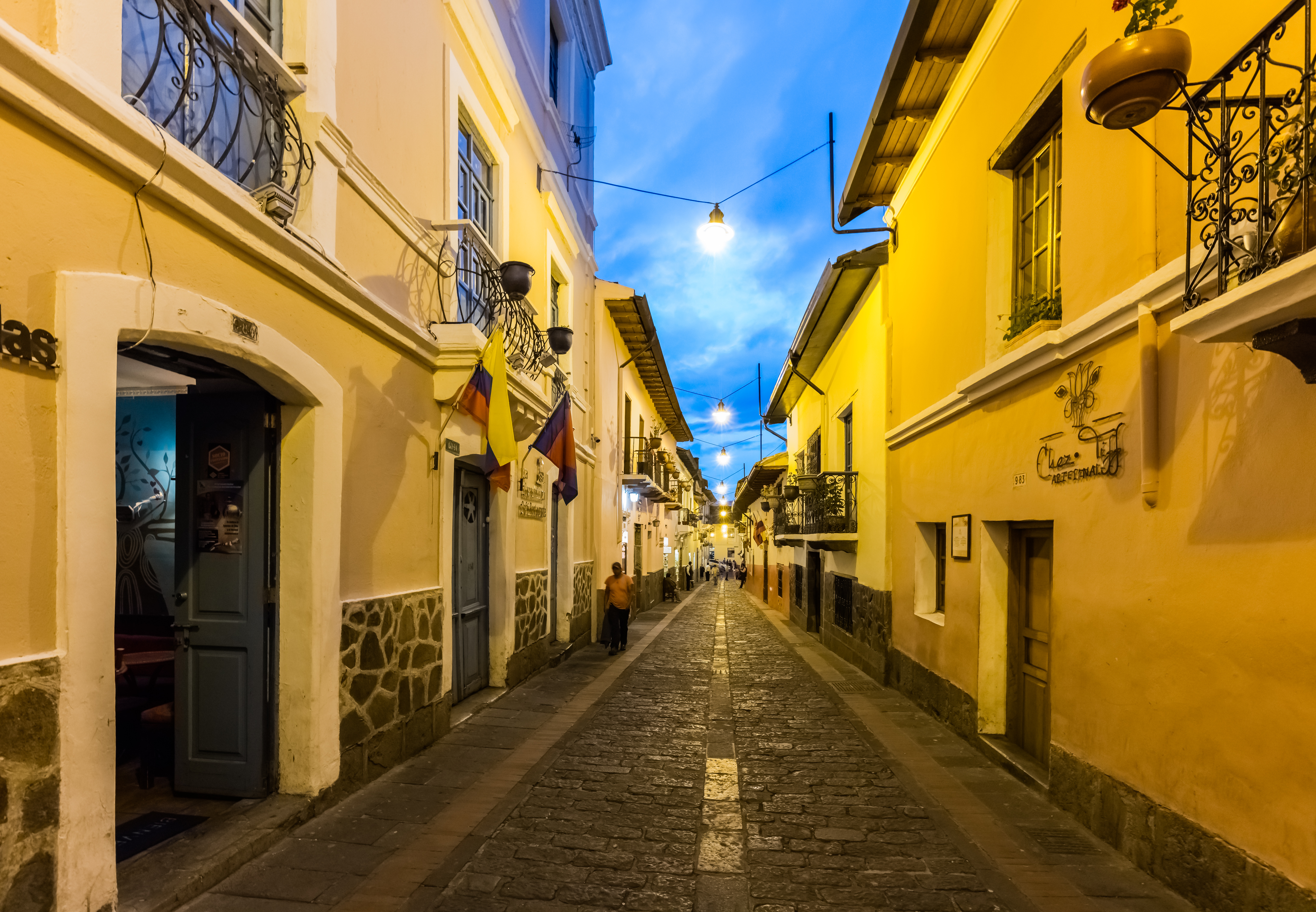
Categorie in Machachi
Industrie
Distribuzione delle attività per settore in Machachi
| Descrizione del settore | Numero di stabilimenti |
|---|---|
| Ristoranti | 188 |
| Negozi di alimentari e supermercati | 86 |
| Shopping | 82 |
| Gestione aziendale | 51 |
| Istruzione | 47 |
| Riparazione auto | 40 |
| Altri alloggi | 36 |
| Negozi di abbigliamento | 33 |
| Bar, pub e taverne | 23 |
Fatti su Machachi
| Superficie | 320.2 km² |
| Popolazione | 36.627 |
| Popolazione maschile | 17.818 (48.6%) |
| Popolazione femminile | 18.809 (51.4%) |
| Variazione della popolazione (1975 to 2020) | +156.6% |
| Variazione della popolazione (2000 to 2020) | +31.5% |
| Età media | 26.1 anni (Maschi: 25.4, Femmine: 26.7) |
| PIL pro capite (PPA) | $10.358 (2022) |
| Prefissi | 2 |
| Quartieri | Aloasi, Kennedy, Solanda, Jipijapa, Bellavista |
| Ora locale | |
| Fuso orario | Ora dell’Ecuador |
| Lat. e long. | -0.51011, -78.56712 |
| Codici Postali | 170350, 170352 |
Mappa Machachi
Mappa interattiva
Popolazione di Machachi
Anni dal 1975 al 2030
| Data | 1975 | 1990 | 2000 | 2015 | 2020 | 2025* | 2030* |
|---|---|---|---|---|---|---|---|
| Popolazione | 14.273 | 22.080 | 27.854 | 36.781 | 36.627 | 38.796 | 40.702 |
| Densità demografica | 44,6 / km² | 69 / km² | 87 / km² | 114,9 / km² | 114,4 / km² | 121,2 / km² | 127,1 / km² |
Variazione della popolazione di Machachi dal 2000 al 2020
Aumento del 31.5% dall'anno 2000 al 2020
| Luogo | Variazione dal 1975 | Variazione dal 1990 | Variazione dal 2000 |
|---|---|---|---|
| Machachi | +156.6% | +65.9% | +31.5% |
| Provincia del Pichincha | — | — | — |
| Ecuador | — | — | — |
Età mediana di Machachi
Età mediana: 26.1 anni
| Luogo | Età media | Età mediana (femmina) | Età mediana (maschio) |
|---|---|---|---|
| Machachi | 26.1 yrs | 26.7 yrs | 25.4 yrs |
| Provincia del Pichincha | 26.7 yrs | 27.4 yrs | 25.9 yrs |
| Ecuador | 25.1 yrs | 25.6 yrs | 24.5 yrs |
Densità di popolazione di Machachi
Densità di popolazione: 114 / km²
| Luogo | Popolazione | Superficie | Densità |
|---|---|---|---|
| Machachi | 36.627 | 320,2 km² | 114 / km² |
| Provincia del Pichincha | 2,9 million | 9537 km² | 306 / km² |
| Ecuador | 15,8 million | 256.053,3 km² | 61,9 / km² |
Popolazione storica e prevista di Machachi
Popolazione stimata dal 800 al 2100
- JRC (Centro comune di ricerca della Commissione europea) lavoro su GHS built-up grid
- CIESIN (Center for International Earth Science Information Network)
- [collegamento] Klein Goldewijk, K., Beusen, A., Doelman, J., and Stehfest, E.: Anthropogenic land use estimates for the Holocene – HYDE 3.2, Earth Syst. Sci. Data, 9, 927–953, https://doi.org/10.5194/essd-9-927-2017, 2017.
Distribuzione dei prezzi
Distribuzione delle imprese per prezzo per Machachi
Indice di sviluppo umano (HDI)
Indice composito statistico di aspettativa di vita, istruzione e reddito pro capite.
Prodotto Interno Lordo (PIL) di Machachi
PIL pro capite, PPA ($ internazionali costanti 2017)
| Data | 1990 | 1995 | 2000 | 2005 | 2010 | 2015 | 2020 | 2022 |
|---|---|---|---|---|---|---|---|---|
| PIL pro capite | $10.940 | $8477 | $5844 | $8446 | $7549 | $11.482 | $11.778 | $10.358 |
| PIL totale | $314,9 Mln | $272,7 Mln | $205,8 Mln | $329,5 Mln | $327,3 Mln | $544,5 Mln | $609,3 Mln | $548,9 Mln |
Emissioni di CO2 di Machachi
Emissioni di anidride carbonica (CO2) pro capite in tonnellate all'anno
| Luogo | Emissioni di CO2 | Emissioni di CO2 pro capite | Intensità di emissioni di CO2 |
|---|---|---|---|
| Machachi | 166,753 tn | 4.55 tn | 520.8 tons/km² |
| Provincia del Pichincha | 13,145,274 tn | 4.51 tn | 1,378.3 tons/km² |
| Ecuador | 43,886,500 tn | 2.77 tn | 171.4 tons/km² |
| Emissioni di CO2 del 2013 (tonnellate/anno) | 166,753 tn |
| Emissioni di CO2 del 2013 (tonnellate/anno) pro capite | 4.55 tn |
| Intensità delle emissioni di CO2 del 2013 (tonnellate/km²/anno) | 520.8 tons/km² |
Rischio pericoli naturali
Rischio relativo su 10
| Pericolo | Livello di rischio |
|---|---|
| Siccità | Alto (8) |
| Alluvione | Alto (9) |
| Terremoto | Alto (9) |
| Frana | Alto (10) |
| Vulcano | Alto (10) |
* Il rischio, in particolare per quanto riguarda inondazioni o frane, potrebbe non riguardare l'intera area.
- Dilley, M., R.S. Chen, U. Deichmann, A.L. Lerner-Lam, M. Arnold, J. Agwe, P. Buys, O. Kjekstad, B. Lyon, and G. Yetman. 2005. Natural Disaster Hotspots: A Global Risk Analysis. Washington, D.C.: World Bank. https://doi.org/10.1596/0-8213-5930-4.
- Center for Hazards and Risk Research - CHRR - Columbia University, Center for International Earth Science Information Network - CIESIN - Columbia University, and Norwegian Geotechnical Institute - NGI. 2005. Global Landslide Hazard Distribution. Palisades, NY: NASA Socioeconomic Data and Applications Center (SEDAC). https://doi.org/10.7927/H4P848VZ.
- Center for Hazards and Risk Research - CHRR - Columbia University, Center for International Earth Science Information Network - CIESIN - Columbia University, and International Research Institute for Climate and Society - IRI - Columbia University. 2005. Global Drought Hazard Frequency and Distribution. Palisades, NY: NASA Socioeconomic Data and Applications Center (SEDAC). https://doi.org/10.7927/H4VX0DFT.
- Center for Hazards and Risk Research - CHRR - Columbia University, Center for International Earth Science Information Network - CIESIN - Columbia University. 2005. Global Flood Hazard Frequency and Distribution. Palisades, NY: NASA Socioeconomic Data and Applications Center (SEDAC). https://doi.org/10.7927/H4668B3D.
- Center for Hazards and Risk Research - CHRR - Columbia University, Center for International Earth Science Information Network - CIESIN - Columbia University. 2005. Global Volcano Hazard Frequency and Distribution. Palisades, NY: NASA Socioeconomic Data and Applications Center (SEDAC). https://doi.org/10.7927/H4BR8Q45.
- Center for Hazards and Risk Research - CHRR - Columbia University, Center for International Earth Science Information Network - CIESIN - Columbia University. 2005. Global Earthquake Hazard Distribution - Peak Ground Acceleration. Palisades, NY: NASA Socioeconomic Data and Applications Center (SEDAC). https://doi.org/10.7927/H4BZ63ZS.
Recenti terremoti nelle vicinanze
Magnitudo 3.0 e successive
| Data▼ | Ora↕ | Magnitude↕ | Distance↕ | Profondità↕ | Luogo↕ | collegamento |
|---|---|---|---|---|---|---|
| 9/20/18 | 5:54 PM | 4.3 | 70.5 km | 83,860 m | 17km NNE of La Mana, Ecuador | usgs.gov |
| 6/3/18 | 1:51 AM | 3.5 | 42.9 km | 22,280 m | 13km NE of Quito, Ecuador | usgs.gov |
| 4/3/18 | 1:15 AM | 4.3 | 35.8 km | 5,000 m | 4km N of Quito, Ecuador | usgs.gov |
| 5/25/17 | 8:43 AM | 3.6 | 39.2 km | 10,000 m | 8km NE of Quito, Ecuador | usgs.gov |
| 9/5/16 | 12:22 AM | 4.7 | 48 km | 10,000 m | 23km ENE of Quito, Ecuador | usgs.gov |
| 8/9/16 | 4:23 AM | 4.4 | 45.3 km | 9,130 m | 22km NE of Sangolqui, Ecuador | usgs.gov |
| 12/21/14 | 5:40 PM | 4.9 | 77.1 km | 10,000 m | 45km SSE of Cayambe, Ecuador | usgs.gov |
| 8/17/14 | 4:30 PM | 4.2 | 59.8 km | 10,000 m | 28km NNE of Quito, Ecuador | usgs.gov |
| 8/16/14 | 3:08 PM | 4.7 | 46.9 km | 57,700 m | 23km NE of Sangolqui, Ecuador | usgs.gov |
| 8/12/14 | 7:58 PM | 5.1 | 60.9 km | 11,880 m | 22km WSW of Cayambe, Ecuador | usgs.gov |


Informazioni sui nostri dati
I dati di questa pagina sono stimati utilizzando vari strumenti e risorse pubblicamente disponibili. Sono forniti senza garanzia e potrebbero contenere imprecisioni. Utilizzare a proprio rischio.