Fatti su Kangerluk
| Ora locale | |
| Fuso orario | GMT-01:00 |
| Lat. e long. | 69.48333, -53.95000 |
Mappa Kangerluk
Mappa interattiva
Recenti terremoti nelle vicinanze
Magnitudo 3.0 e successive
| Data▼ | Ora↕ | Magnitude↕ | Distance↕ | Profondità↕ | Luogo↕ | collegamento |
|---|---|---|---|---|---|---|
| 5/9/16 | 3:47 PM | 4.4 | 36.7 km | 10,000 m | 59km NNW of Aasiaat, Greenland | usgs.gov |
| 4/17/16 | 4:17 PM | 4.5 | 43.3 km | 14,340 m | 53km NNW of Aasiaat, Greenland | usgs.gov |
| 4/6/16 | 1:34 AM | 4.7 | 38.4 km | 10,000 m | 58km NNW of Aasiaat, Greenland | usgs.gov |
| 4/5/16 | 10:32 PM | 4.5 | 38 km | 13,570 m | 58km NNW of Aasiaat, Greenland | usgs.gov |
| 8/20/10 | 8:52 PM | 4 | 25.1 km | 18,000 m | western Greenland | usgs.gov |
| 7/11/08 | 9:11 PM | 4.1 | 26.9 km | 10,000 m | western Greenland | usgs.gov |
| 6/14/07 | 8:30 PM | 4.3 | 62.8 km | 10,000 m | western Greenland | usgs.gov |
| 2/16/06 | 6:27 AM | 3.7 | 40.8 km | 10,000 m | western Greenland | usgs.gov |
| 2/16/06 | 2:42 AM | 3.6 | 22.6 km | 18,000 m | western Greenland | usgs.gov |
| 2/16/06 | 12:32 AM | 4 | 24.2 km | 18,000 m | western Greenland | usgs.gov |
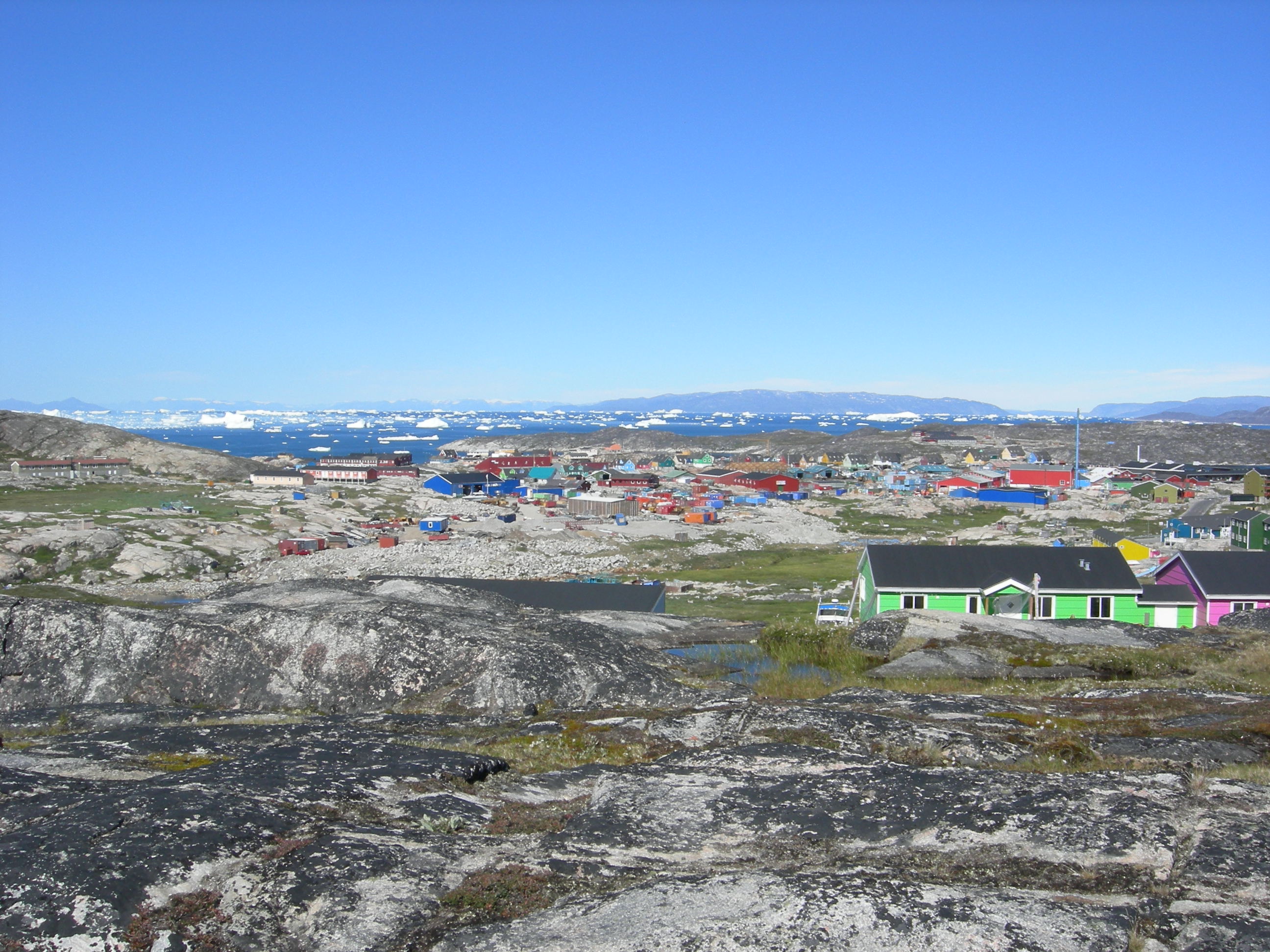
Kangerluk
Diskofjord (o Kangerluk, Kangerdluk prima della riforma ortografica del 1973, Evqitsoq) è un villaggio della Groenlandia che si trova sull'isola di Disko, nel comune di Qaasuitsup. È posto all'interno di un fiordo che sbocca nel punto d'incontro tra la Baia di..
Pagina di Wikipedia per Kangerluk

Informazioni sui nostri dati
I dati di questa pagina sono stimati utilizzando vari strumenti e risorse pubblicamente disponibili. Sono forniti senza garanzia e potrebbero contenere imprecisioni. Utilizzare a proprio rischio.