Categorie in Oshtorinan
Industrie
Distribuzione delle attività per settore in Oshtorinan
| Descrizione del settore | Numero di stabilimenti |
|---|---|
| Negozi di alimentari e supermercati | 10 |
| Istruzione | 9 |
Fatti su Oshtorinan
| Ora locale | |
| Fuso orario | Ora standard dell’Iran |
| Lat. e long. | 33.98306, 48.64250 |
Mappa Oshtorinan
Mappa interattiva
Recenti terremoti nelle vicinanze
Magnitudo 3.0 e successive
| Data▼ | Ora↕ | Magnitude↕ | Distance↕ | Profondità↕ | Luogo↕ | collegamento |
|---|---|---|---|---|---|---|
| 10/28/18 | 11:22 PM | 4.4 | 94.4 km | 10,000 m | 42km SSE of Khorramabad, Iran | usgs.gov |
| 10/18/18 | 3:14 PM | 4.4 | 12.3 km | 10,000 m | 17km W of Borujerd, Iran | usgs.gov |
| 9/19/18 | 12:41 PM | 4.3 | 47.5 km | 10,000 m | 9km WSW of Azna, Iran | usgs.gov |
| 7/11/18 | 11:13 AM | 4.3 | 72.8 km | 10,000 m | 17km SSE of Khorramabad, Iran | usgs.gov |
| 11/23/17 | 10:30 PM | 4.4 | 30.7 km | 10,000 m | 22km SSW of Borujerd, Iran | usgs.gov |
| 11/14/17 | 4:48 AM | 4.2 | 88 km | 10,000 m | 31km NNE of Kuhdasht, Iran | usgs.gov |
| 11/13/17 | 3:33 PM | 4.6 | 87.7 km | 10,000 m | 20km NE of Kuhdasht, Iran | usgs.gov |
| 11/13/17 | 11:26 AM | 4.2 | 88.8 km | 10,000 m | 32km NNE of Kuhdasht, Iran | usgs.gov |
| 9/21/17 | 4:59 AM | 4.2 | 88.8 km | 10,000 m | 16km ENE of Harsin, Iran | usgs.gov |
| 7/28/17 | 1:04 AM | 4.7 | 24.6 km | 10,000 m | 12km SW of pamas, Iran | usgs.gov |
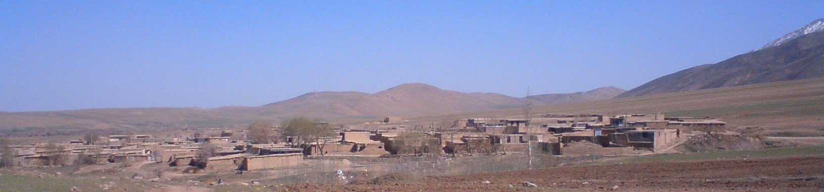
Oshtorinan
Oshtorīnān (farsi اشترینان) è una città della provincia di Borujerd, circoscrizione di Oshtorinan, nella regione del Lorestan. Aveva, nel 2006, una popolazione di 5.264 abitanti. Si trova a nord di Borujerd, sulla strada che conduce ad Hamadan. Un tempo era un..
Pagina di Wikipedia per Oshtorinan

Informazioni sui nostri dati
I dati di questa pagina sono stimati utilizzando vari strumenti e risorse pubblicamente disponibili. Sono forniti senza garanzia e potrebbero contenere imprecisioni. Utilizzare a proprio rischio.