Fatti su Zaboli
| Prefissi | 548 |
| Ora locale | |
| Fuso orario | Ora standard dell’Iran |
| Lat. e long. | 27.13100, 61.67445 |
Mappa Zaboli
Mappa interattiva
Recenti terremoti nelle vicinanze
Magnitudo 3.0 e successive
| Data▼ | Ora↕ | Magnitude↕ | Distance↕ | Profondità↕ | Luogo↕ | collegamento |
|---|---|---|---|---|---|---|
| 10/17/18 | 2:53 PM | 4.2 | 86.8 km | 10,000 m | 98km SSE of Iranshahr, Iran | usgs.gov |
| 1/18/16 | 12:18 PM | 4.1 | 68.6 km | 47,280 m | 120km NW of Turbat, Pakistan | usgs.gov |
| 5/13/15 | 2:35 PM | 4.5 | 91.1 km | 42,480 m | 102km NNW of Turbat, Pakistan | usgs.gov |
| 3/28/15 | 5:03 PM | 4.3 | 39.9 km | 53,890 m | 59km E of Iranshahr, Iran | usgs.gov |
| 1/6/14 | 1:39 AM | 4 | 14.6 km | 10,000 m | 112km E of Iranshahr, Iran | usgs.gov |
| 12/27/13 | 8:06 AM | 4.1 | 69.2 km | 10,000 m | 73km SE of Iranshahr, Iran | usgs.gov |
| 4/17/13 | 10:24 AM | 4.1 | 77.1 km | 14,200 m | southeastern Iran | usgs.gov |
| 4/17/13 | 3:04 AM | 4.1 | 89.5 km | 46,100 m | Iran-Pakistan border region | usgs.gov |
| 4/16/13 | 8:43 PM | 4.7 | 85.5 km | 85,000 m | 70km ESE of Khash, Iran | usgs.gov |
| 4/16/13 | 7:14 PM | 4.6 | 90.7 km | 80,000 m | 75km ESE of Khash, Iran | usgs.gov |
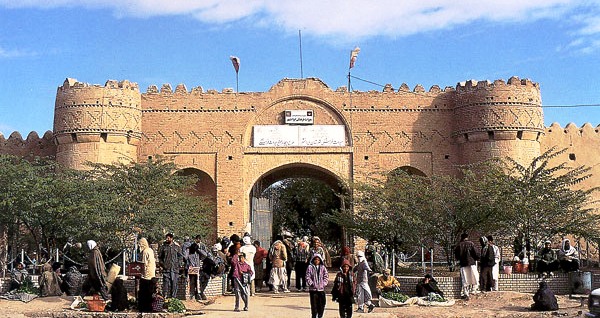
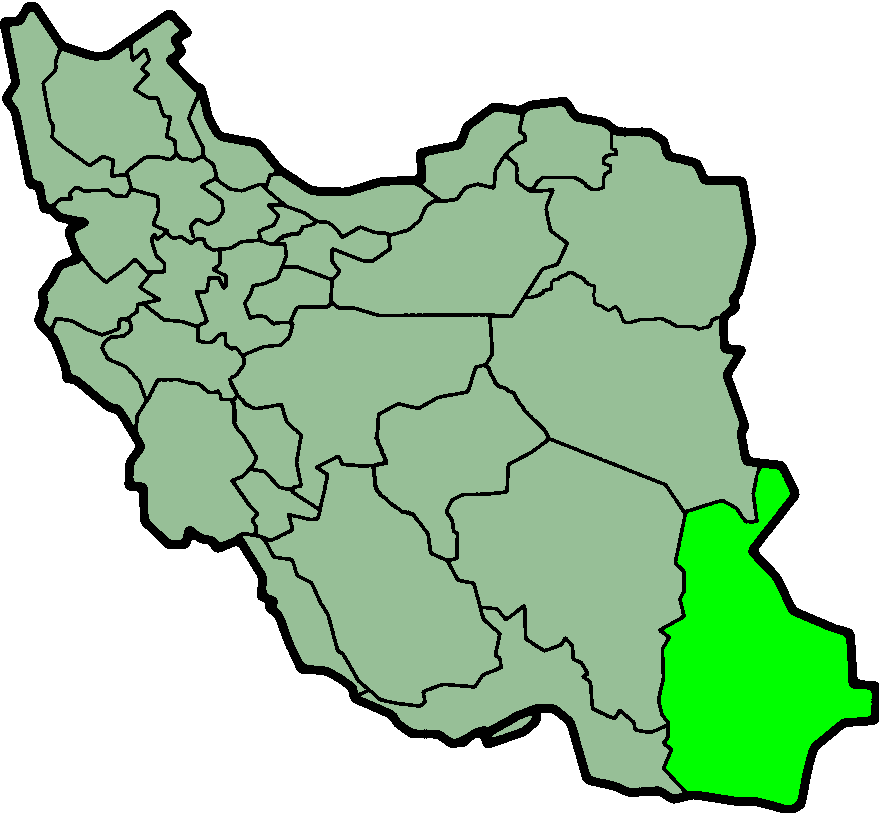
Zaboli
Zābolī (farsi زابلی) è il capoluogo della provincia di Zaboli, circoscrizione Centrale, nella regione del Sistan e Baluchistan in Iran. Aveva, nel 2006, una popolazione di 7.672 abitanti. Si trovava in precedenza in provincia di Saravan.
Pagina di Wikipedia per Zaboli
Informazioni sui nostri dati
I dati di questa pagina sono stimati utilizzando vari strumenti e risorse pubblicamente disponibili. Sono forniti senza garanzia e potrebbero contenere imprecisioni. Utilizzare a proprio rischio.