Fatti su Skógar
| Ora locale | |
| Fuso orario | Ora del meridiano di Greenwich |
| Lat. e long. | 63.62918, -19.37439 |
Mappa Skógar
Mappa interattiva
Recenti terremoti nelle vicinanze
Magnitudo 3.0 e successive
| Data▼ | Ora↕ | Magnitude↕ | Distance↕ | Profondità↕ | Luogo↕ | collegamento |
|---|---|---|---|---|---|---|
| 12/30/18 | 2:56 AM | 4.3 | 99.7 km | 10,000 m | 19km NNE of Hveragerdi, Iceland | usgs.gov |
| 8/16/18 | 4:24 PM | 4.4 | 34.5 km | 10,000 m | 62km NNW of Vik, Iceland | usgs.gov |
| 7/26/17 | 10:18 PM | 4.4 | 14.4 km | 10,000 m | 23km N of Vik, Iceland | usgs.gov |
| 7/26/17 | 10:16 PM | 4.1 | 8 km | 10,000 m | 23km NW of Vik, Iceland | usgs.gov |
| 1/26/17 | 3:14 PM | 4.5 | 10.7 km | 10,000 m | 25km NNW of Vik, Iceland | usgs.gov |
| 9/26/16 | 1:31 PM | 4.1 | 10.9 km | 10,000 m | 33km NNW of Vik, Iceland | usgs.gov |
| 8/29/16 | 1:47 AM | 4.5 | 14.4 km | 3,800 m | 26km N of Vik, Iceland | usgs.gov |
| 2/2/15 | 9:34 PM | 4.3 | 94.8 km | 10,000 m | 103km NNE of Vik, Iceland | usgs.gov |
| 12/21/14 | 8:48 PM | 4.5 | 85.4 km | 6,860 m | 90km NE of Vik, Iceland | usgs.gov |
| 12/9/14 | 10:04 AM | 4.2 | 79.7 km | 10,000 m | 88km NNE of Vik, Iceland | usgs.gov |
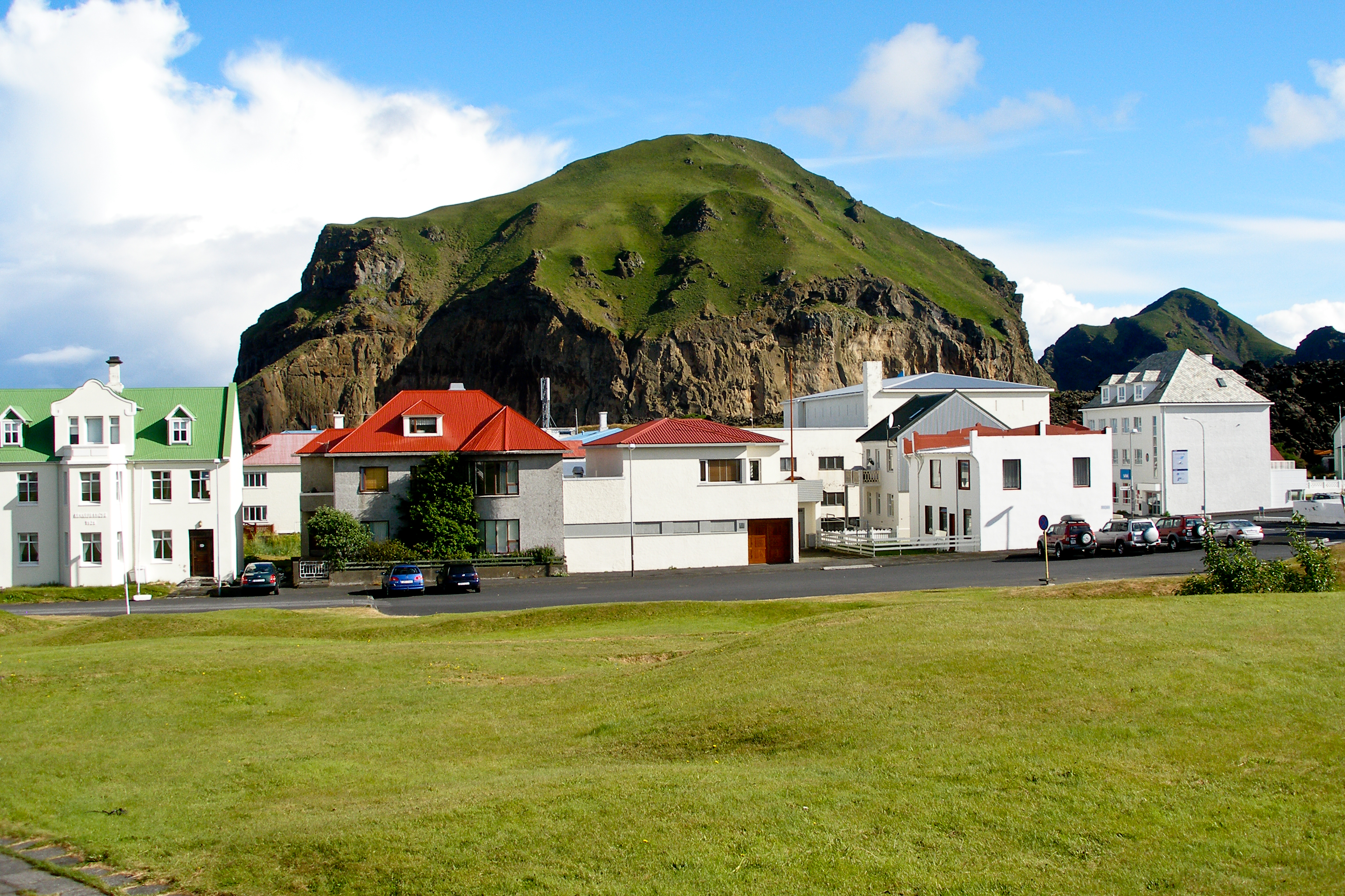
Skógar
Il villaggio Skógar è situato a sud del ghiacciaio Eyjafjallajökull nell'Islanda del sud. Il nome del villaggio significa "foresta". Un elemento molto suggestivo presente in questa località è la meravigliosa cascata Skógafoss. Skógar nel 1949 Þórður Tómasson ..
Pagina di Wikipedia per Skógar


Informazioni sui nostri dati
I dati di questa pagina sono stimati utilizzando vari strumenti e risorse pubblicamente disponibili. Sono forniti senza garanzia e potrebbero contenere imprecisioni. Utilizzare a proprio rischio.