Fatti su Yegyi
| Ora locale | |
| Fuso orario | Ora della Birmania |
| Lat. e long. | 17.34481, 95.11869 |
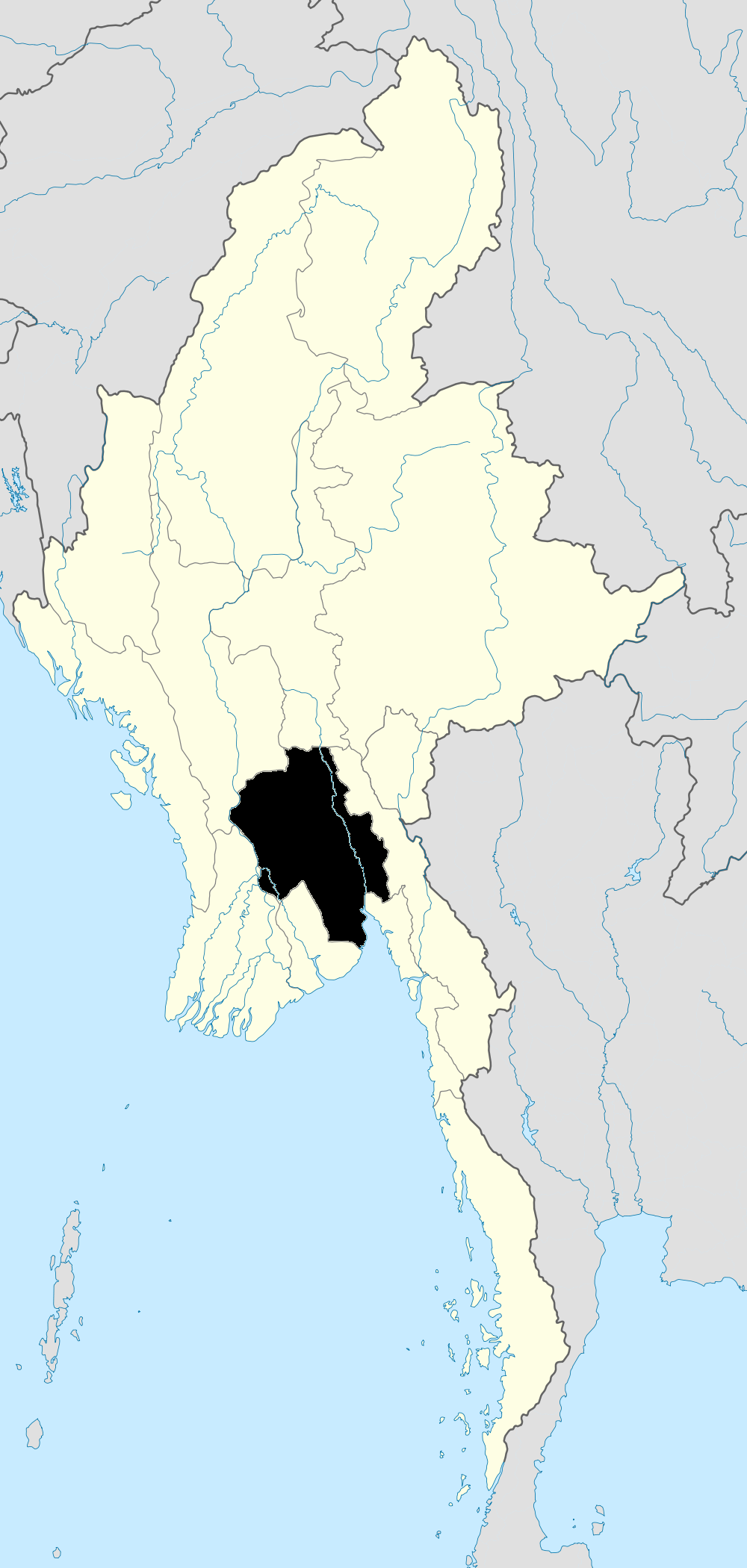
Mappa Yegyi
Mappa interattiva
Recenti terremoti nelle vicinanze
Magnitudo 3.0 e successive
| Data▼ | Ora↕ | Magnitude↕ | Distance↕ | Profondità↕ | Luogo↕ | collegamento |
|---|---|---|---|---|---|---|
| 4/18/18 | 7:55 AM | 4.2 | 98.7 km | 10,000 m | 12km WNW of Twante, Burma | usgs.gov |
| 1/6/18 | 10:56 PM | 4.1 | 84.9 km | 36,260 m | 105km NNW of Pathein, Burma | usgs.gov |
| 9/11/17 | 1:56 PM | 4.6 | 86.7 km | 10,000 m | 30km SSE of Tharyarwady, Burma | usgs.gov |
| 9/11/17 | 1:19 AM | 4.2 | 88.7 km | 10,000 m | 39km SSE of Tharyarwady, Burma | usgs.gov |
| 3/30/17 | 10:34 AM | 4.2 | 81.8 km | 5,990 m | 33km NE of Nyaungdon, Burma | usgs.gov |
| 3/13/17 | 2:19 PM | 5.1 | 93.8 km | 10,000 m | 34km SE of Tharyarwady, Burma | usgs.gov |
| 10/27/14 | 2:33 PM | 4.4 | 86 km | 38,310 m | 96km NNW of Pathein, Burma | usgs.gov |
| 9/15/13 | 10:47 PM | 4.3 | 93.8 km | 16,370 m | 19km SW of Pathein, Burma | usgs.gov |
| 6/18/10 | 3:20 AM | 4 | 69.9 km | 10,000 m | near the south coast of Myanmar | usgs.gov |
| 10/20/09 | 8:20 AM | 4.2 | 89.6 km | 10,000 m | near the south coast of Myanmar | usgs.gov |


Informazioni sui nostri dati
I dati di questa pagina sono stimati utilizzando vari strumenti e risorse pubblicamente disponibili. Sono forniti senza garanzia e potrebbero contenere imprecisioni. Utilizzare a proprio rischio.