Fatti su Mangatoki
| Ora locale | |
| Fuso orario | Ora standard della Nuova Zelanda |
| Lat. e long. | -39.41667, 174.21667 |
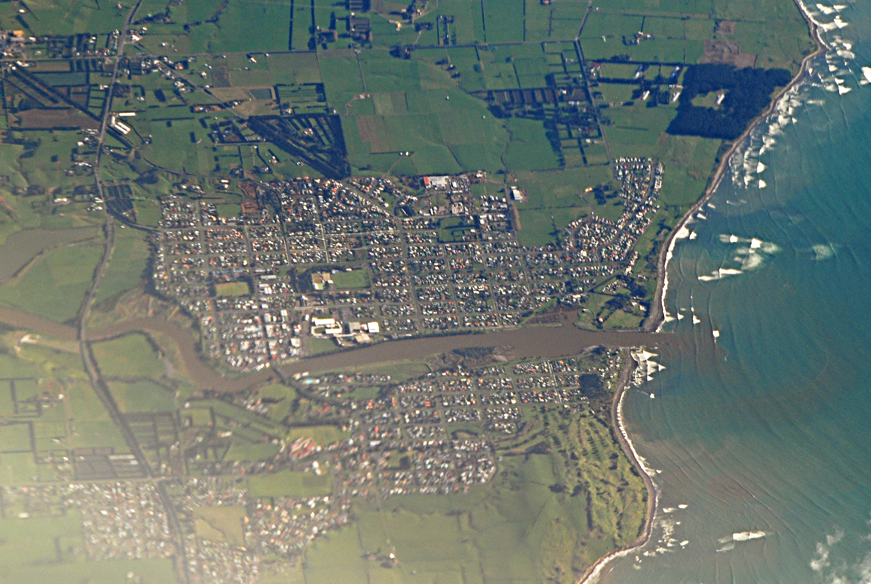
Mappa Mangatoki
Mappa interattiva
Recenti terremoti nelle vicinanze
Magnitudo 3.0 e successive
| Data▼ | Ora↕ | Magnitude↕ | Distance↕ | Profondità↕ | Luogo↕ | collegamento |
|---|---|---|---|---|---|---|
| 6/5/19 | 4:26 AM | 4.1 | 11.9 km | 253,660 m | 11km NW of Hawera, New Zealand | usgs.gov |
| 9/18/18 | 10:11 PM | 4.2 | 31.3 km | 202,680 m | 21km WSW of Hawera, New Zealand | usgs.gov |
| 5/19/18 | 10:40 PM | 4.5 | 18.4 km | 206,980 m | 4km NE of Hawera, New Zealand | usgs.gov |
| 7/4/13 | 4:07 PM | 4.3 | 34.3 km | 114,300 m | North Island of New Zealand | usgs.gov |
| 6/23/12 | 8:10 PM | 4.1 | 26 km | 208,000 m | North Island of New Zealand | usgs.gov |
| 3/5/12 | 7:36 PM | 4.2 | 17 km | 226,800 m | North Island of New Zealand | usgs.gov |
| 2/19/12 | 8:07 AM | 5 | 8.9 km | 325,400 m | North Island of New Zealand | usgs.gov |
| 2/11/12 | 12:50 PM | 4 | 28.3 km | 141,700 m | North Island of New Zealand | usgs.gov |
| 1/5/12 | 11:50 PM | 4.1 | 13.2 km | 32,000 m | North Island of New Zealand | usgs.gov |
| 12/10/11 | 11:43 PM | 4.3 | 34.9 km | 207,800 m | North Island of New Zealand | usgs.gov |


Informazioni sui nostri dati
I dati di questa pagina sono stimati utilizzando vari strumenti e risorse pubblicamente disponibili. Sono forniti senza garanzia e potrebbero contenere imprecisioni. Utilizzare a proprio rischio.