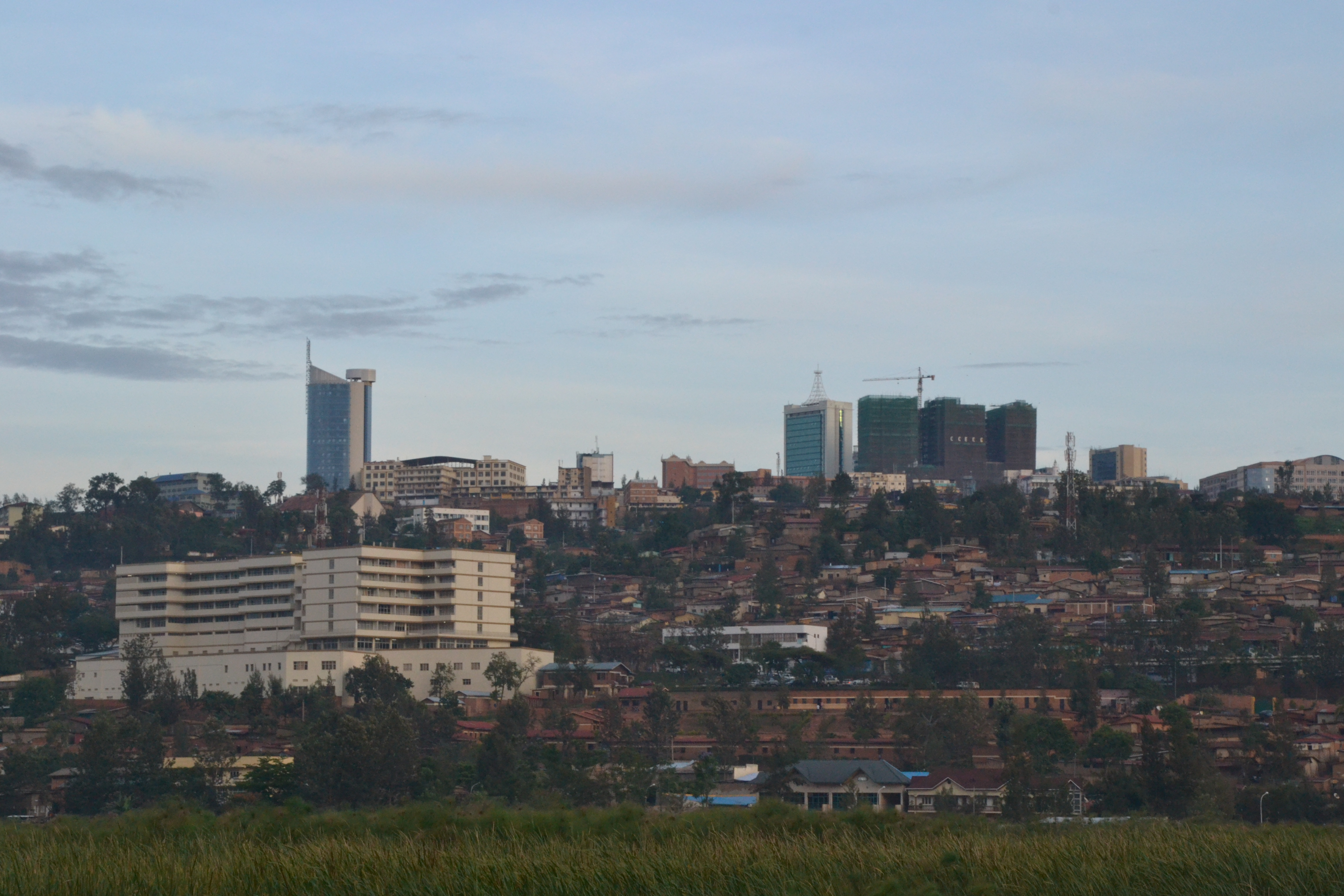
Fatti su Nyabisindu
| Ora locale | |
| Fuso orario | Ora dell’Africa centrale |
| Lat. e long. | -2.34162, 29.66958 |
Mappa Nyabisindu
Mappa interattiva
Recenti terremoti nelle vicinanze
Magnitudo 3.0 e successive
| Data▼ | Ora↕ | Magnitude↕ | Distance↕ | Profondità↕ | Luogo↕ | collegamento |
|---|---|---|---|---|---|---|
| 9/2/18 | 11:55 PM | 4.3 | 76.2 km | 10,000 m | 11km NE of Bubanza, Burundi | usgs.gov |
| 12/5/17 | 12:22 AM | 4.6 | 85.6 km | 10,000 m | 20km SE of Bukavu, Democratic Republic of the Congo | usgs.gov |
| 10/24/16 | 11:30 PM | 4.7 | 77.7 km | 10,000 m | 18km SE of Cyangugu, Rwanda | usgs.gov |
| 9/23/16 | 4:11 PM | 4.8 | 75.9 km | 10,000 m | 24km SE of Cyangugu, Rwanda | usgs.gov |
| 9/23/16 | 3:07 PM | 4.5 | 83.7 km | 10,000 m | 21km SSE of Cyangugu, Rwanda | usgs.gov |
| 8/7/15 | 1:50 AM | 4.3 | 91.5 km | 10,000 m | 21km N of Kabare, Democratic Republic of the Congo | usgs.gov |
| 8/7/15 | 1:28 AM | 5.5 | 84.5 km | 10,000 m | 43km N of Cyangugu, Rwanda | usgs.gov |
| 8/7/15 | 1:25 AM | 5.8 | 88.7 km | 11,000 m | 37km N of Cyangugu, Rwanda | usgs.gov |
| 3/25/09 | 5:03 AM | 4 | 21.6 km | 10,000 m | Rwanda | usgs.gov |
| 6/8/08 | 5:13 PM | 3.8 | 91.6 km | 10,000 m | Lac Kivu region, Democratic Republic of the Congo | usgs.gov |


Informazioni sui nostri dati
I dati di questa pagina sono stimati utilizzando vari strumenti e risorse pubblicamente disponibili. Sono forniti senza garanzia e potrebbero contenere imprecisioni. Utilizzare a proprio rischio.