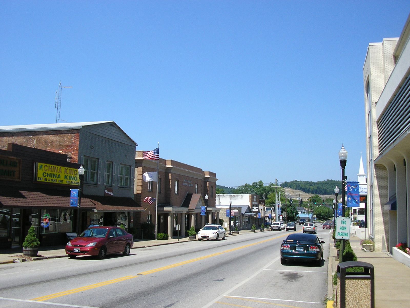
Categorie in Isonville
Mappa Isonville
Mappa interattiva
Recenti terremoti nelle vicinanze
Magnitudo 3.0 e successive
| Data▼ | Ora↕ | Magnitude↕ | Distance↕ | Profondità↕ | Luogo↕ | collegamento |
|---|---|---|---|---|---|---|
| 9/8/90 | 12:03 AM | 3.3 | 59.5 km | 5,000 m | eastern Kentucky | usgs.gov |
| 7/15/89 | 12:08 AM | 3.1 | 75.2 km | 10,000 m | eastern Kentucky | usgs.gov |
| 9/7/88 | 2:28 AM | 4.5 | 72.9 km | 10,000 m | 8km E of Mount Sterling, Kentucky | usgs.gov |
| 8/17/83 | 2:04 PM | 3.1 | 45.8 km | 10,000 m | 13km SSW of Greenup, Kentucky | usgs.gov |
| 8/17/83 | 2:03 PM | 3.5 | 51.4 km | 11,900 m | eastern Kentucky | usgs.gov |
| 7/27/80 | 6:52 PM | 5.1 | 75.9 km | 8,000 m | 14km N of Mount Sterling, Kentucky | usgs.gov |
| 11/9/79 | 9:29 PM | 3.6 | 42.3 km | 10,000 m | eastern Kentucky | usgs.gov |
| 5/17/01 | 6:00 AM | 4.2 | 76.2 km | — | Ohio | usgs.gov |
Informazioni sui nostri dati
I dati di questa pagina sono stimati utilizzando vari strumenti e risorse pubblicamente disponibili. Sono forniti senza garanzia e potrebbero contenere imprecisioni. Utilizzare a proprio rischio.